Switzerland offers us in a very small territory a very large geomorphological variation, ideal for the development of our hardware and software technologies before deployments on the regions of interest (ROI) of our missions.
assets
missed.aero leverages a wide network for cooperation and the exchange of geospatial and remote sensing data.Our collaborative projects enable the utilization of vast amounts of underused geospatial data, both past and present, for purposes such as remote sensing, spatio-temporal analysis, environmental monitoring, and specialized geographic information systems (GIS).
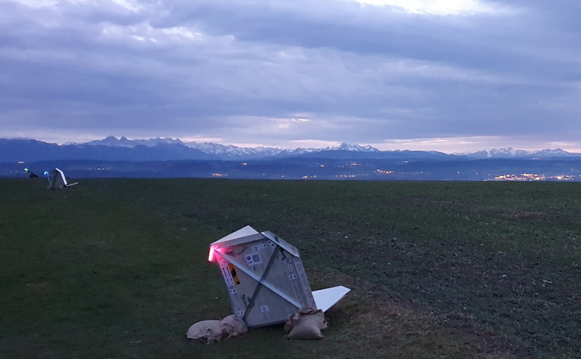
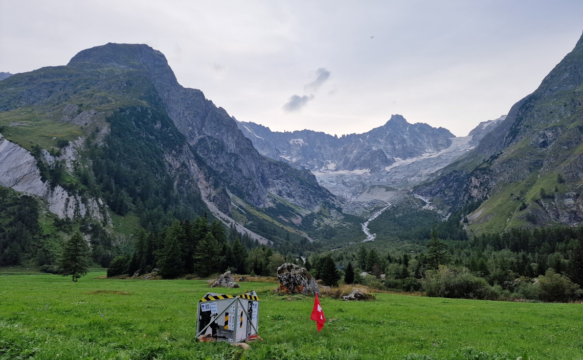
missed.aero develops proprietary digital tools, including algorithms and software, as well as specialized hardware such as antennas, reflectors, sensors and targets to support its opportunistic remote sensing efforts in the field.
These internal innovations are complemented by satellite imagery and advanced software and hardware resources provided by our partners, enhancing the capabilities available for our research missions.