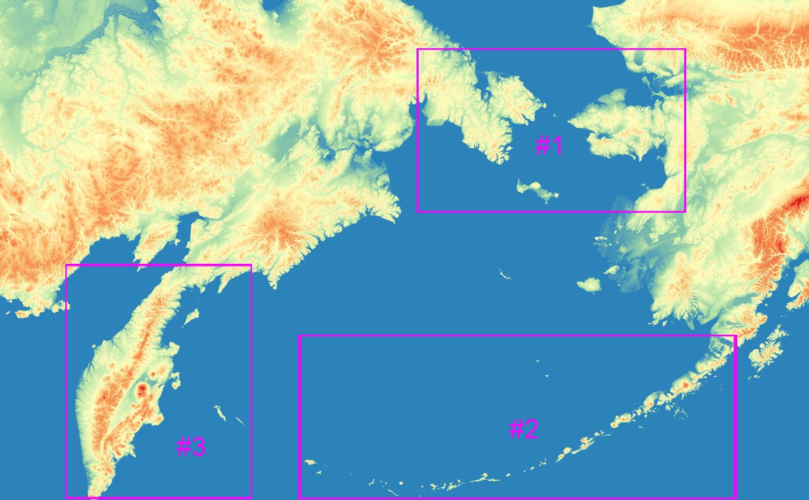
The first calibration phase of the ALSIB mission can now begin in ROI #1 (Region of Interest #1, in the image) thanks to the successful training of our remote sensing tool.
ROI #1 includes the Seward Peninsula in Alaska and the Chukchi Peninsula in the Chukotka Autonomous Okrug of Russia.
Following the calibration phase, a first automated remote sensing test will be conducted in ROI #2 in the Aleutian Islands.
As a reminder, the ALSIB mission is of major interest to our research on artificial intelligence methods, particularly machine learning and deep learning, for locating missing aircraft wreckage.
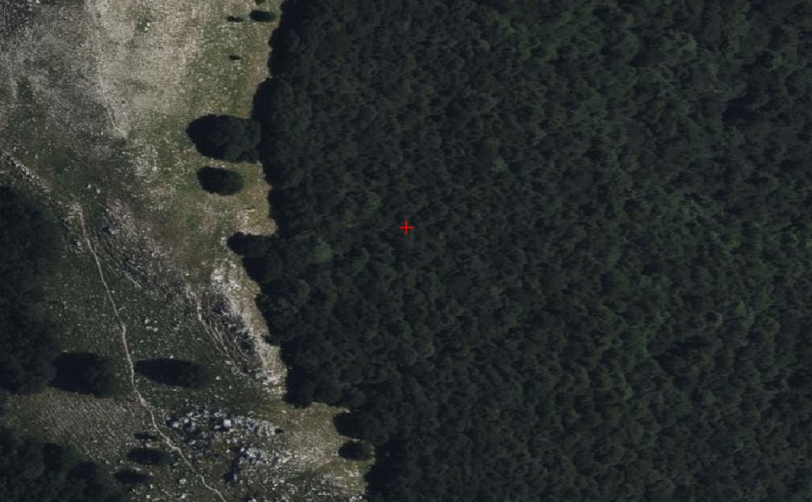
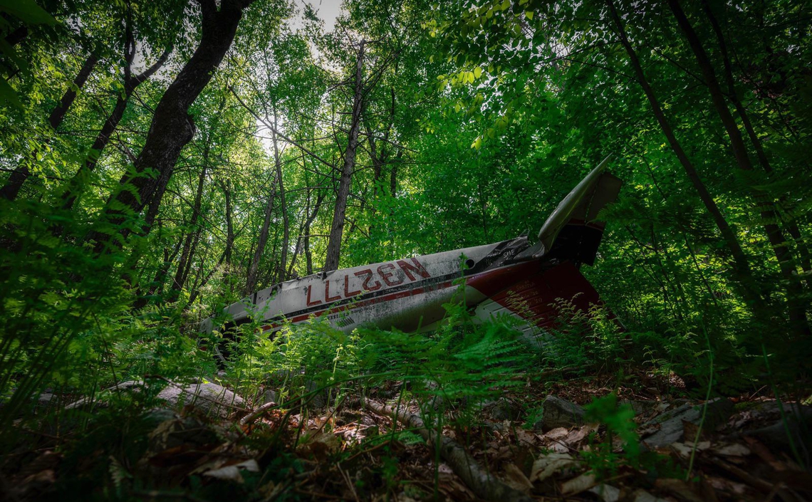
The first key factor is geomorphological: the route crosses tundra ("bare land") and taiga (sparse boreal forest), which facilitates visual verification of wreckage identified by radar (SAR).
The second factor is the potentially high density of aircraft wrecks; a single radar image can contain several.
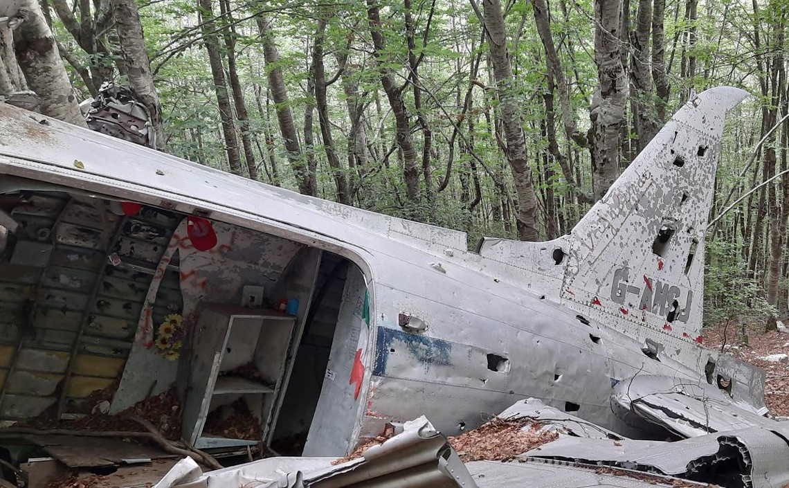
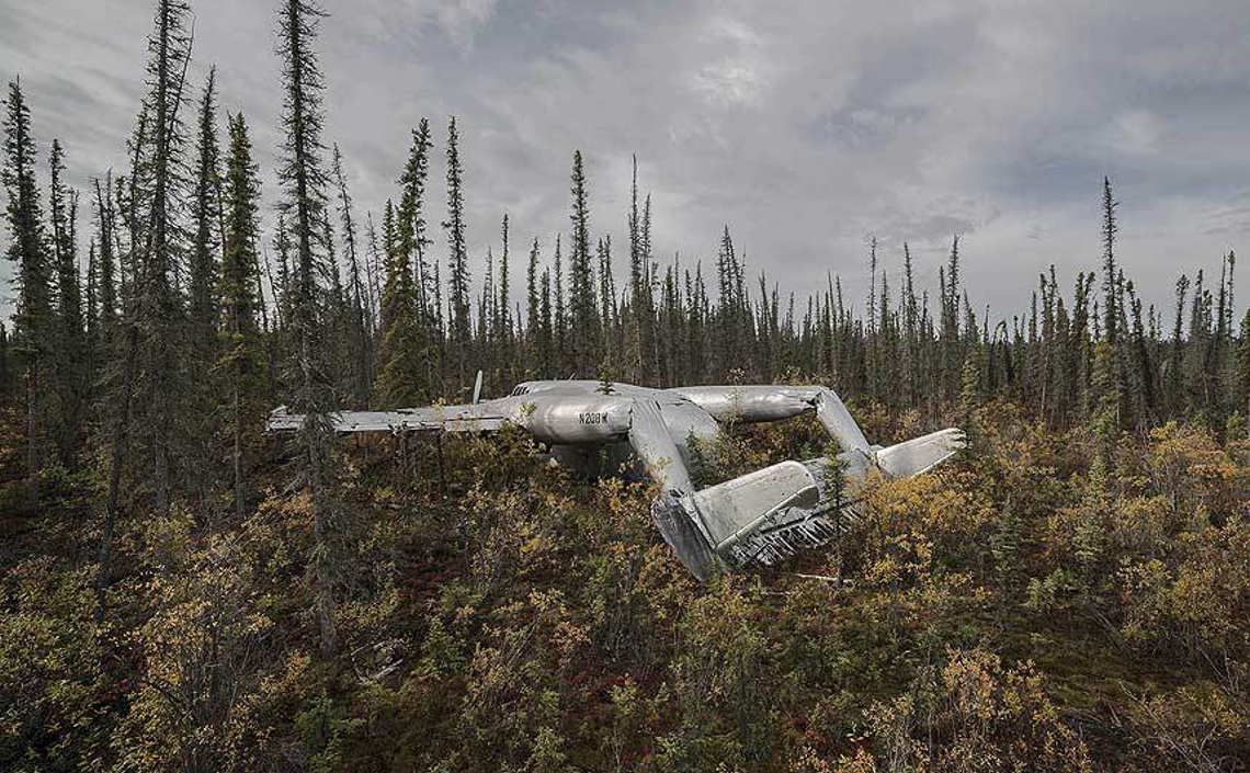
Furthermore, many of these wrecks have remained largely intact for over 80 years, providing an authentic and realistic scenario for studying missing aircraft detection.
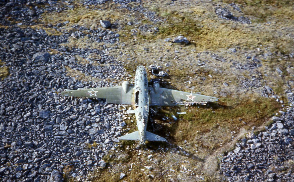
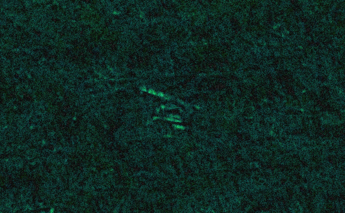
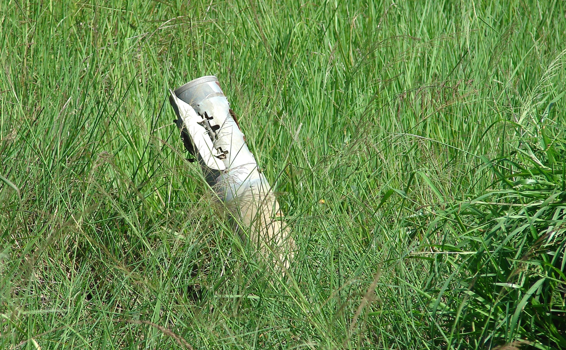
Above: wreck of a Lisunov Li-2T of Soviet Border Troops (no id) crashed on June 13, 1973 on Big Diomede Island - Ratmanov Island, Bering Strait, Russia (65.778292, -169.066728).
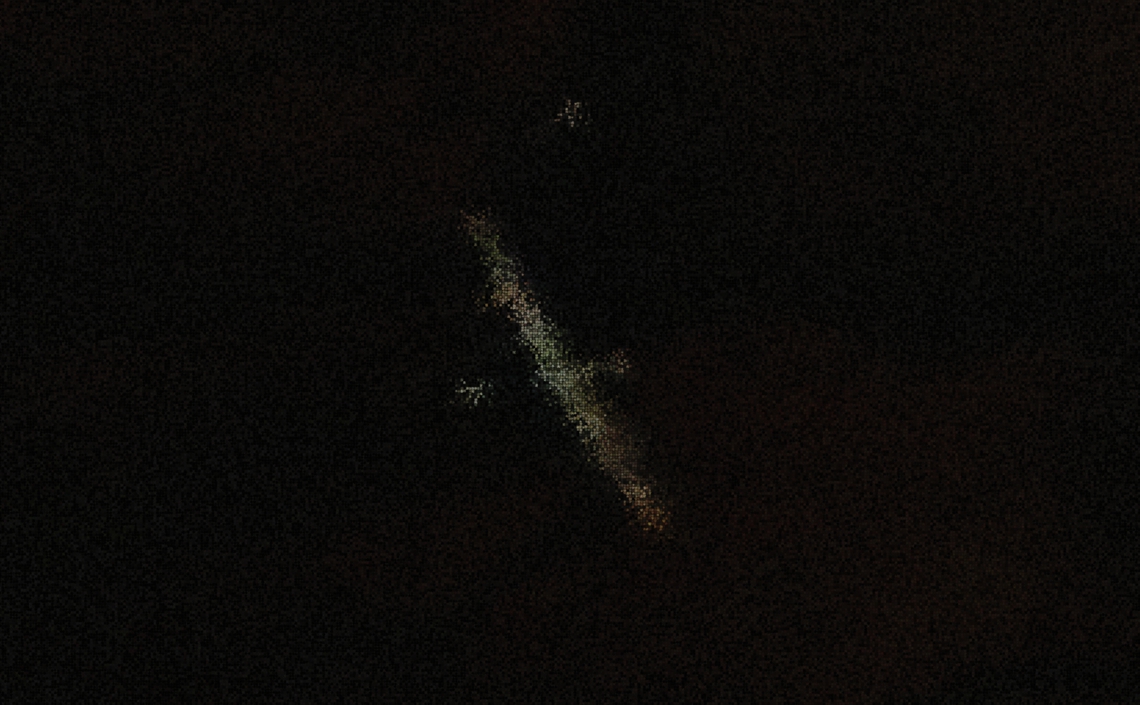
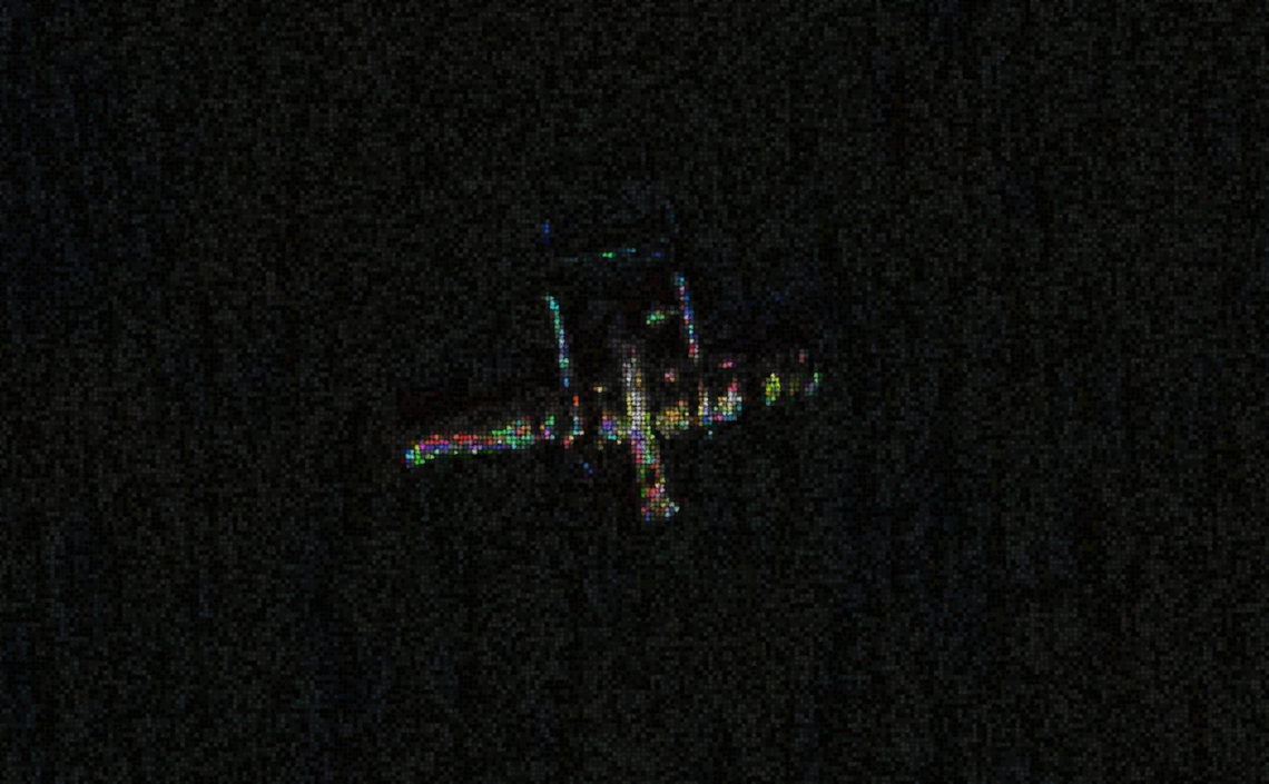
Below: under the radar of missing.aero, wreck of the Consolidated B-24A-CO Liberator (serial 40-2367, cn 19) of the USAAF, which crashed in the Aleutian Islands at Bechevin Bay, Atka, Alaska, on December 9, 1942. (52.03036382, -175.13688310).